Salt Lake City International Airport (SLC)
Orientation and Maps
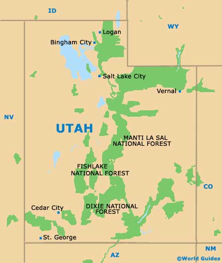
(Salt Lake City, Utah (UT), USA)
Often referred to simply as 'SLC', Salt Lake City is one of Utah's most prominent cities and is the official headquarters of the Latter-Day Saints (LDS) Church. Salt Lake City features a true bohemian flavor and is full of cultural attractions and stands at the base of the Wasatch Mountains.
To the northwest of the city center, Salt Lake City International Airport (SLC) is easy to reach and is connected by regular shuttle vans. Many people also arrive in the city on long-distance Greyhound buses, with the terminal being located along West South Temple Street.
Salt Lake City International Airport (SLC) Maps: Important City Districts
Public transportation within Salt Lake City is good and UTA buses serve both the city and also the Wasatch Front region. A light-rail system is also in place and links the university and the Delta Center. The Rio Grande Depot train station is sited along the South 600 West and features regular Amtrak trains, including the California Zephyr.
The center of Salt Lake City is laid out as a gridwork and the streets are numbered, starting from Temple Square. Prominent roads in this part of the city include Main Street, North Temple, South Temple and West Temple. The 400 South is another important thoroughfare in Salt Lake City and heads in a easterly direction, towards the University of Utah campus. Many of the city's many breathtaking landmarks reside in the downtown district and include the spectacular Salt Lake Temple and Tabernacle.
USA Map

Utah Map
Salt Lake City Map

